Voting District 0211140000002, Berrien County, Michigan
About
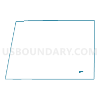
Outline

Summary
| Unique Area Identifier | 596015 |
| Name | Voting District 0211140000002 |
| County | Berrien County |
| State | Michigan |
| Area (square miles) | 1.19 |
| Land Area (square miles) | 1.18 |
| Water Area (square miles) | 0.01 |
| % of Land Area | 99.28 |
| % of Water Area | 0.72 |
| Latitude of the Internal Point | 41.82398170 |
| Longtitude of the Internal Point | -86.36892370 |
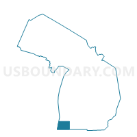
Maps

Graphs
Select a template below for downloading or customizing gragh for Voting District 0211140000002, Berrien County, Michigan